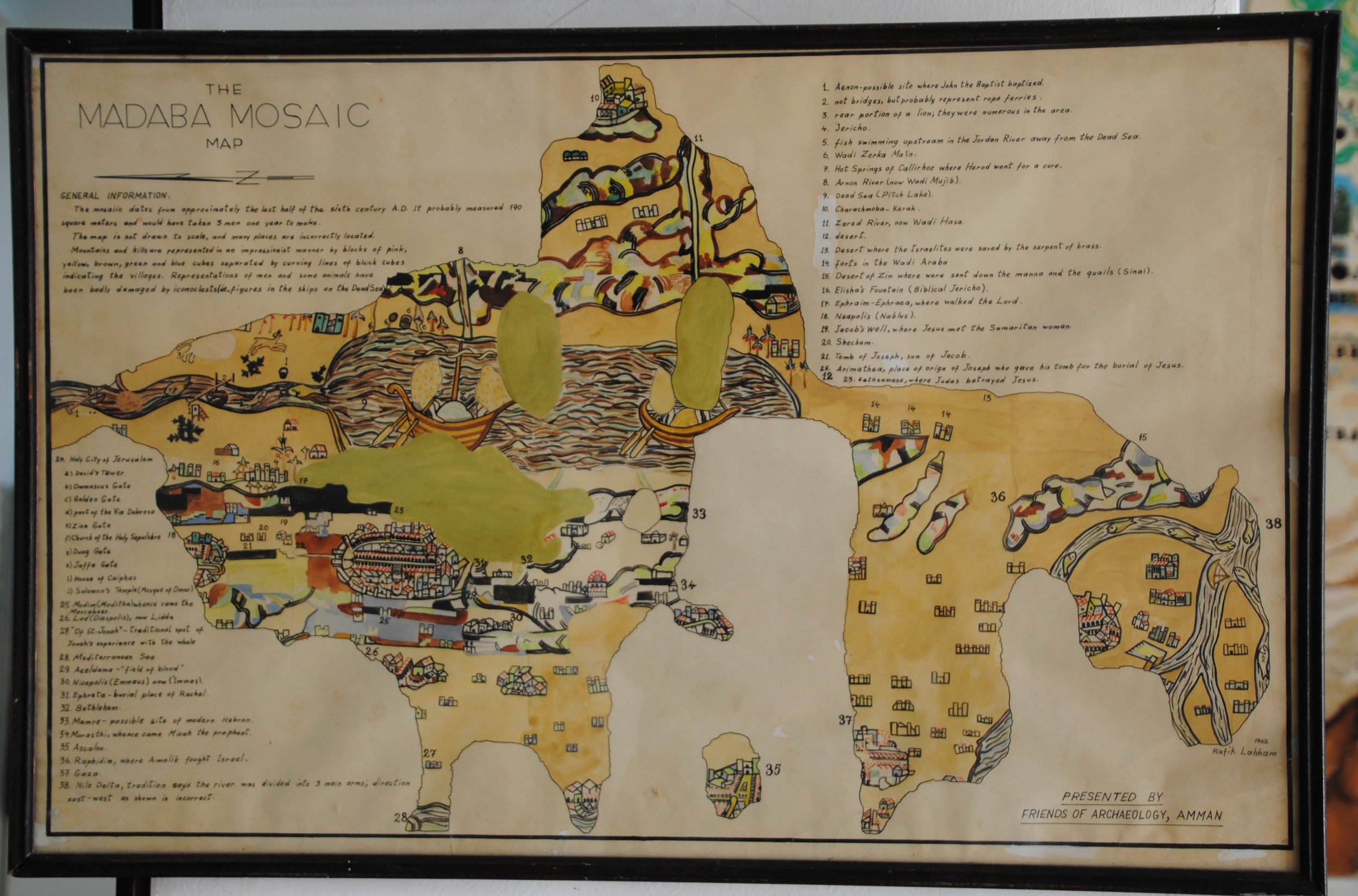
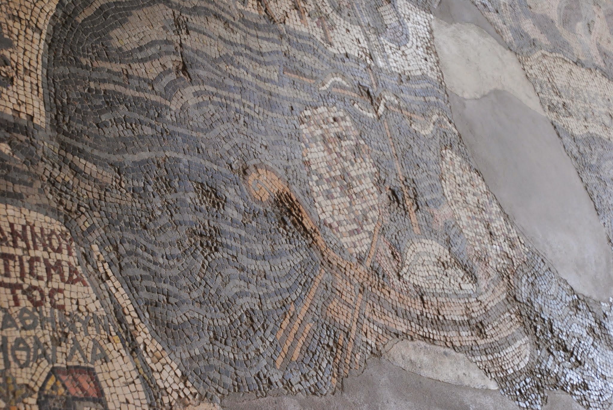
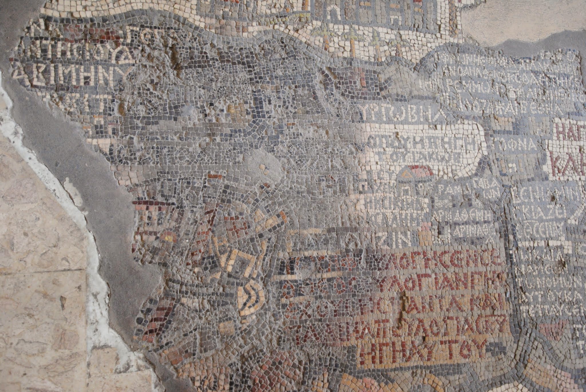
The Mosaic Map in the Church of St. George in Madaba mid 6th century AD
This is the earliest known mosaic map, and the oldest surviving map of the Holy Land. It depicts the eastern Mediterranean from Lebanon to the Nile Delta. It contains labels for over 100 villages, many of which include churches and streets unique to each village. The Dead Sea is depicted with fishing boats. The Jordan River is shown with bridges spanning it. The great detail used to depict Jerusalem enable archaeologists to uncover a wide central street that had been buried until 2010. It is believed this mosaic map was used as a travel aid by pilgrims.


